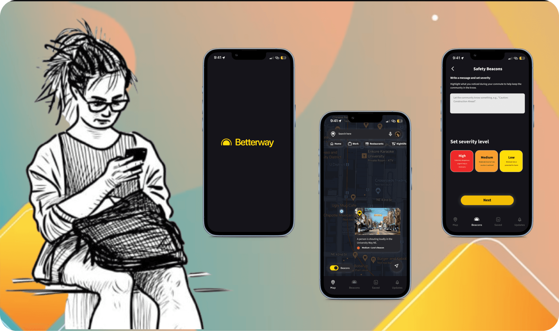
Betterway
A maps app to help students navigate safely at night using tailored route selection and community-led safety updates.
Project Details
Team
Kritika Sony
Annie Song
Joanne Chang
Roman Meza
Duration
2 months
My Role
User Research
UI Designer
UX Designer
Advisors
Scott Ichikawa
Jamie Snyder
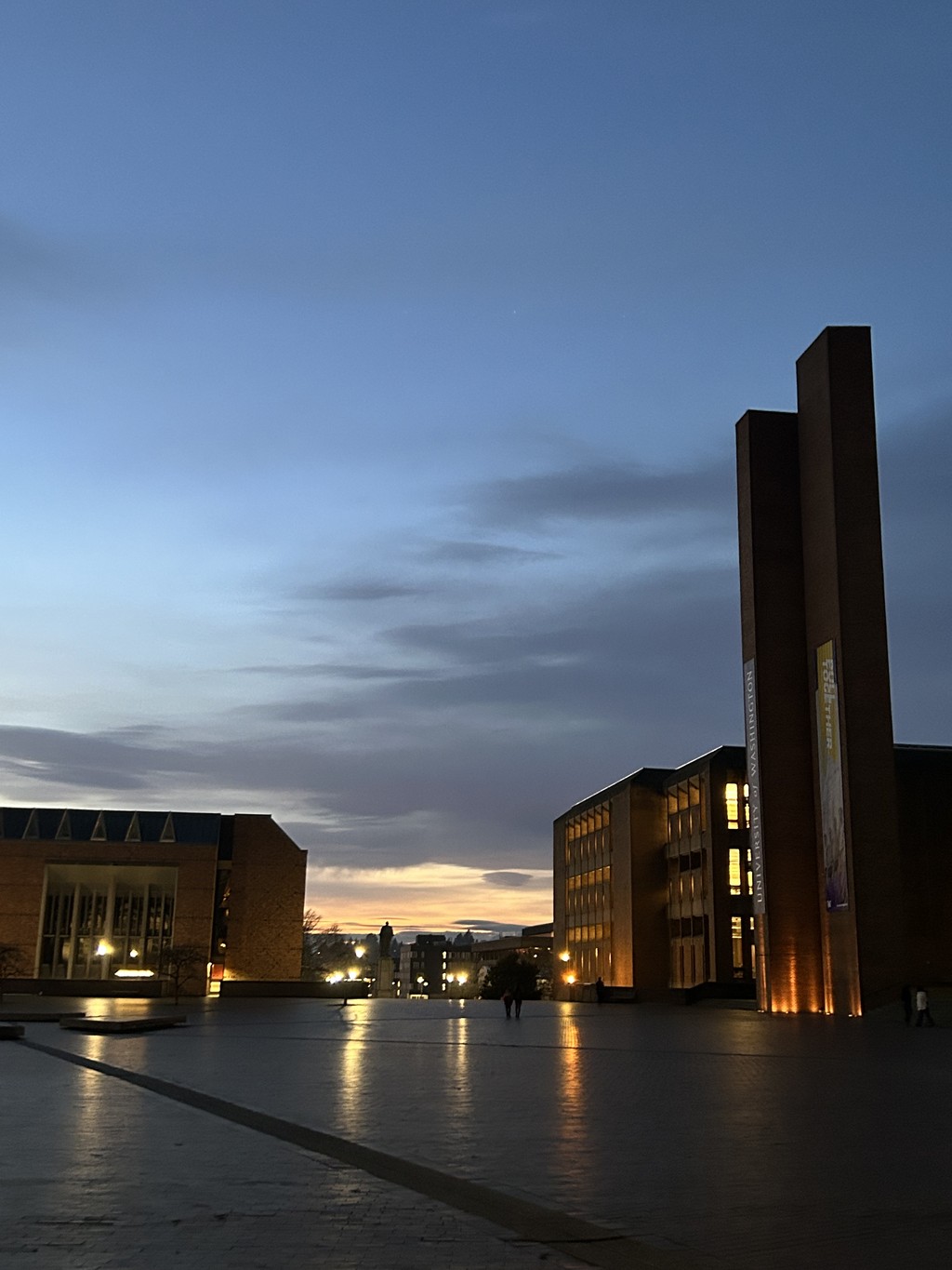
The Problem
Students feel unsafe when commuting across University District after dark. They also worry about crime that they’ve heard from family, friends, and news reports.
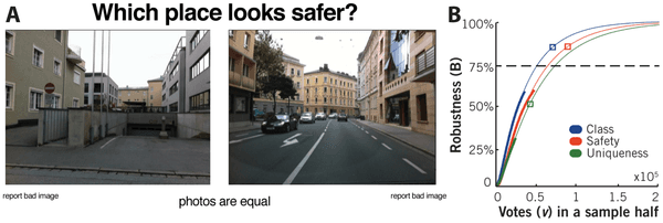
How might we help increase the feeling of safety while walking on the streets of University District, Seattle at night?
Solution
We created a safety app which uses foot traffic data, well-lit paths and the community with three important features:
Before walking back, a student can use the Betterway app to
Check which route is the most lit in terms of lighting
Check which route has the highest foot-traffic
Create and get notified of any safety concerns on the routes
Design Process

Research
01
Desk Research
We approached our research from three different angles:
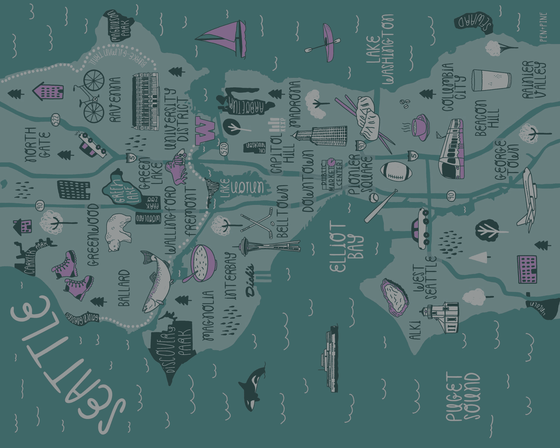
Crimes in U District
In 2023, there have been a total of 179 cases of Violent Crimes and 1,968 cases of Property Crimes according to the Crime Dashboard from Seattle Police Department.
Comparing these with the number of residents in the area, the chance of being a victim of violent crime in University District may be as high as 1 in 8 in the southeast neighborhoods, or as low as 1 in 342 in the northeast part of the neighborhood.

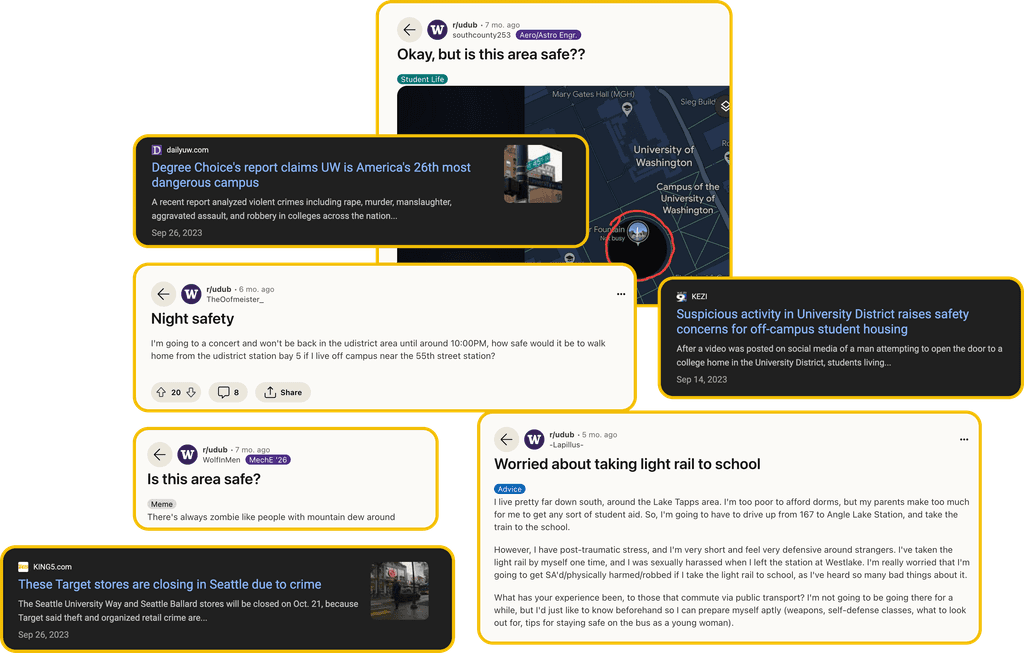
News reports + Online discussions
Students have varying opinions about the safety of U-District but we consistently witness students expressing concerns about safety every year on the internet.
Perception of Unsafety
The perception of unsafety alone is enough to trigger identical physiological responses on individuals.
02
Primary Research
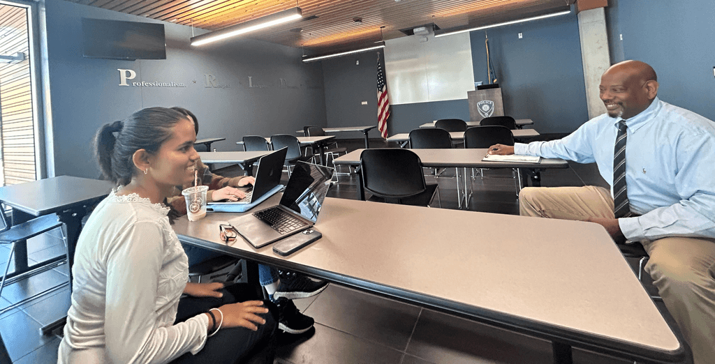
We interviewed 3 students at University of Washington who had lived in U District for less than a year.
Why: We wanted to understand students' specific safety concerns, perceptions, and experiences. While familiarity with a place helps you identify the safe and unsafe places, it is particularly hard for new residents of U District to move around safely.
Link to the notes
I conducted 2 out of 3 interviews at the participants’ home environment.
03
Contextual Inquiry
One of the key stakeholders of maintaining the safety in the U district area is the University of Washington Police Department (UWPD)
We interviewed Anthony Stewart, Acting Lieutenant of UWPD.
04
Observational Study: Walk with a student
We walked home with a student from her home to the Mary Gates Hall where she wanted to go study for her math class.
Here's what we learned:
"I would feel a lot better about walking here if there were simply more lights."
"When I was new here, my father would keep track of where I am going and so if I died under mysterious circumstances, at least my father would know where to find me"
05
Analysing UW resources
We analysed all the resources available for students on campus…
and we learned that the resources are scattered across different websites and apps.

Insights from our primary research

Perceived unsafety of the campus can potentially have a major impact on the students’ educational decisions.

Perceived or actual threat is significantly associated with the tension between the students and the unhoused.

Students feel safe in enclosed spaces where phone tracking is available, such as cars, but feel unsafe in dark and desolate areas due to the fear of difficulty in finding help.

Students were unsatisfied with or unaware of the current resources (alerts, alerts, apps, night services)
Insights from the University of Washington Police Department (UWPD)
Students hesitate to report small incidents
"Students don't report to us. Even if it's a small thing, students should inform. Talk to us, we’re here for the students."
Surprised that students did not know about campus resources
"There are plenty of resources available. Did you not know? There is Husky walk, Husky shuttle, Safe Zone app, Security guards, the SafeZone App - virtual escort, online reporting system."
Research Analysis: Affinity Mapping
Insights
Most students feel safe during the day, within the campus, around familiar people, in areas of denser businesses because they can depend on others for help.
Students feel unsafe after dark, while alone, in the presence of unhoused people, deserted streets because they feel like there is a higher chance of attack. Perceived unsafety has a major impact on the students' day to day decisions.
All students are unaware of or are not satisfied with the resources with alerts, apps, night services. Most new students don't have have a unified resource to access safety resources so they don't know how to utilise them.
Most students have had one or more negative experiences where they felt unsafe in the U District area.
Safety is subjective and a delicate issue to design for.
We divided the main problems that emerged into two categories:
Systemic Issues
Unhoused population
Gun laws
Wealth disparities
Public Safety Issues
Poorly lit streets
Walking alone - solitude
Lack of connectivity within the community
We decided that given the scope and timeline of the project, it will be difficult to tackle any systemic issue meaningfully. Hence, we focussed on the aspect of Public Safety Issues.
Design Principles

Ease of Access
An intuitive interface that is easy to navigate in low-light conditions and requires minimal effort to use.

Powered by Community
Encourage active user participation through features that allow community members to contribute to and verify safety data, fostering a collaborative and informed user base.

Real time safety information
Incorporate live updates and notifications to provide users with immediate, actionable safety information relevant to their specific locations and times
Ideation
120 ideas to ONE
I led the Crazy 8 workshop as a starting point for our ideas. From there, all of us came up with a total of 120 ideas, which ranged from physical, digital, apps, community, programming, self-defense, infrastructure, high-tech, and surveillance.

Affinity Mapping
We then categorized these ideas into 4 major categories
Dot voting and Six Thinking Hats
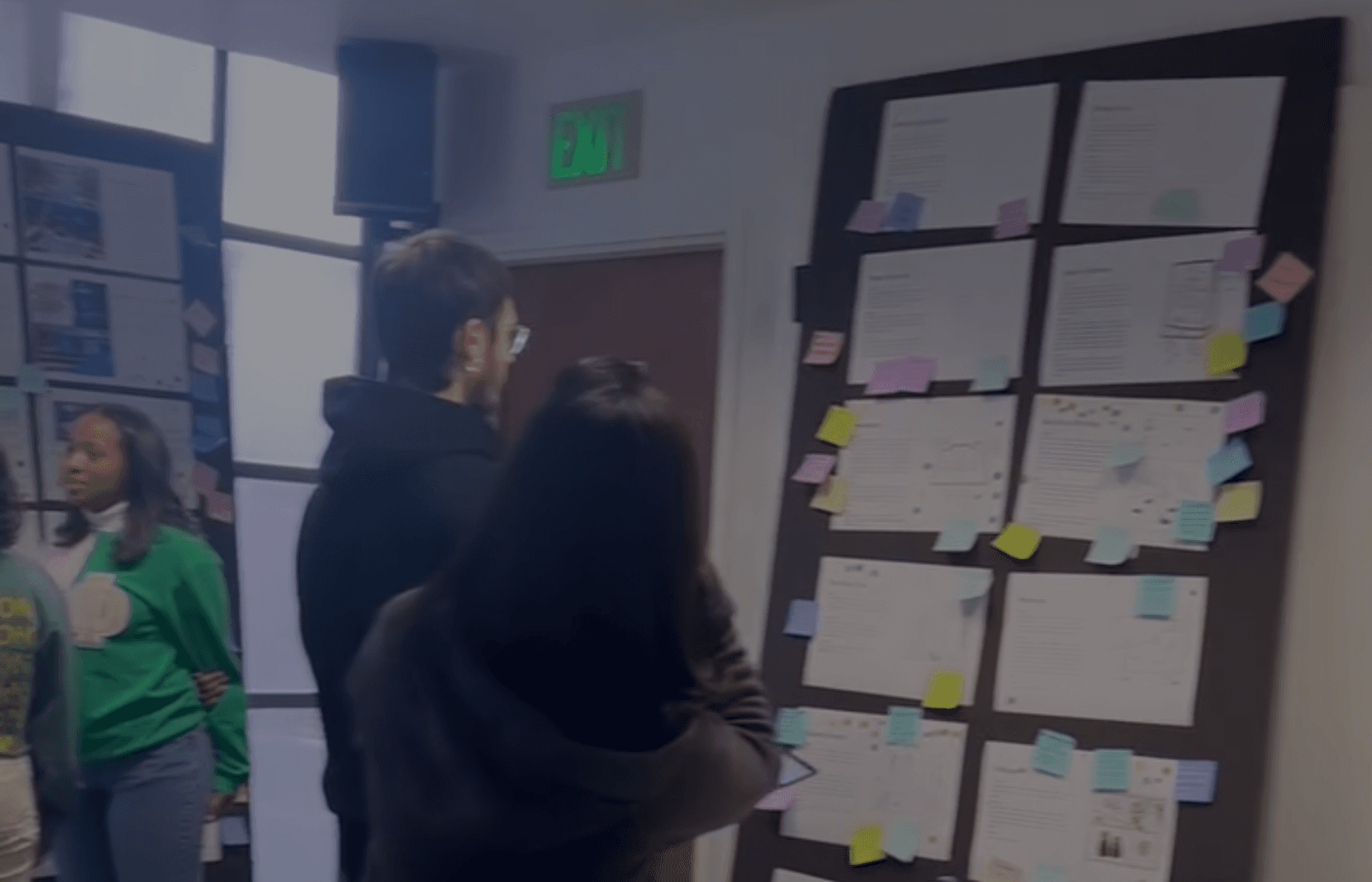
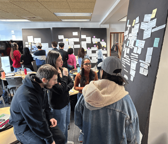
We voted on the top ideas and discussed why we liked those ideas. We also gathered feedback from other MHCI+D students in the program.

Our Top Ideas
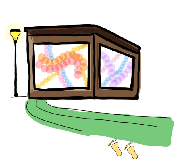
Light Beacon
The sides of the streets would have bright LED lights and the footsteps of those walking on the streets would show up on the larger screen with animations.
Pros:
Bright lights would brighten up the place
Users would see it as an element of fun
Cons:
Difficult to implement and scale
Privacy issues for those who would not like to be a part of it
Data tracking of footsteps might make people feel more unsafe
Someone following a person with malicious intent would make the
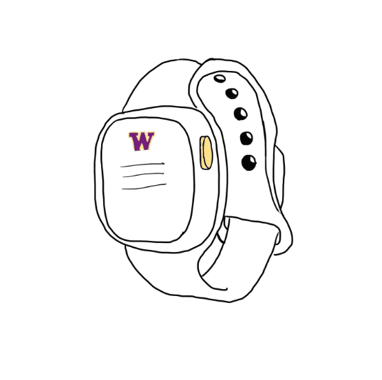
Safety Watch
A safety watch with a button, when pressed immediately informs the police and three trusted people (optional)
It sends the user's location + starts audio call and message facility.
Additionally, the user will be able to see a map of where their friends are
Pros:
Ease of access
Live data
Keeps track of friends/other people
Cons:
An additional artefact to wear all the time
Small screen distracts users and requires more precise taps (other than the buttons)
Limited to close family/friends
Location privacy issues
Unified Information Resource
Bringing together all of the information in an app and as notice boards around the campus.
Pros:
Informs the students of available student resources for safety
Streamlines the process of using safety resources and getting connected with the community
Cons:
Does not leverage the power of community in any way
May not be interactive enough to get noticed (as an info board or downloaded (in case of an app)
Info boards are difficult for providing real time data

Prototype Evaluation
Concept Alignment
With this, we picked up the best parts of all our top ideas, mapped them to our design principles.
We decided to come up with a new concept that incorporated almost all the pros of the above ideas combined.
We decided that the final solution should be a Maps integration - that incorporates the aspect of 'well-lit' streets, is easy to access and provides real time data.

With multiple different ideas, each with their own pros and cons, I led the team to align on one base idea (the maps) by
matching them with our design principles. Next, we picked up the ‘why we liked the idea’ and incorporated all the pros
of the other ideas to our Maps idea.
Lo-Fi Prototyping and RITE Testing
Prototype Evaluation
Objective: To test the ‘Role’ and ‘Look and Feel’
The questions we wanted to answer were mainly related to the role. We created paper prototypes to learn about the way it would play out in the lives of the participants.
Houde, S., & Hill, C. (1997)
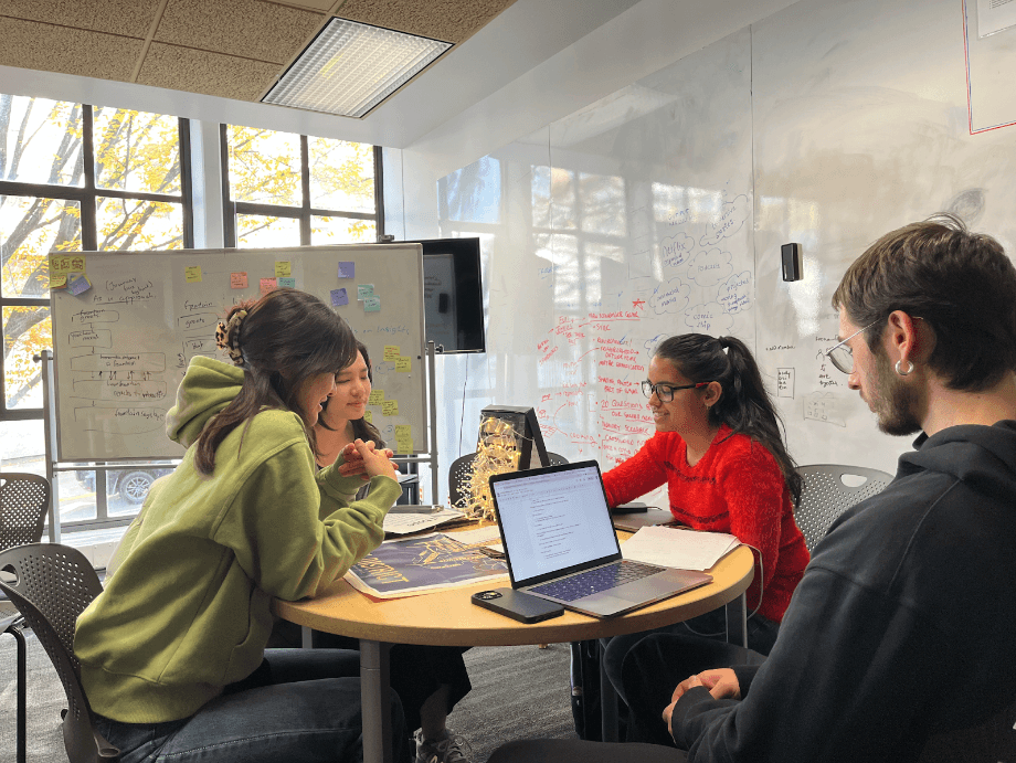
We tested our prototype with six participants living in the U District area.

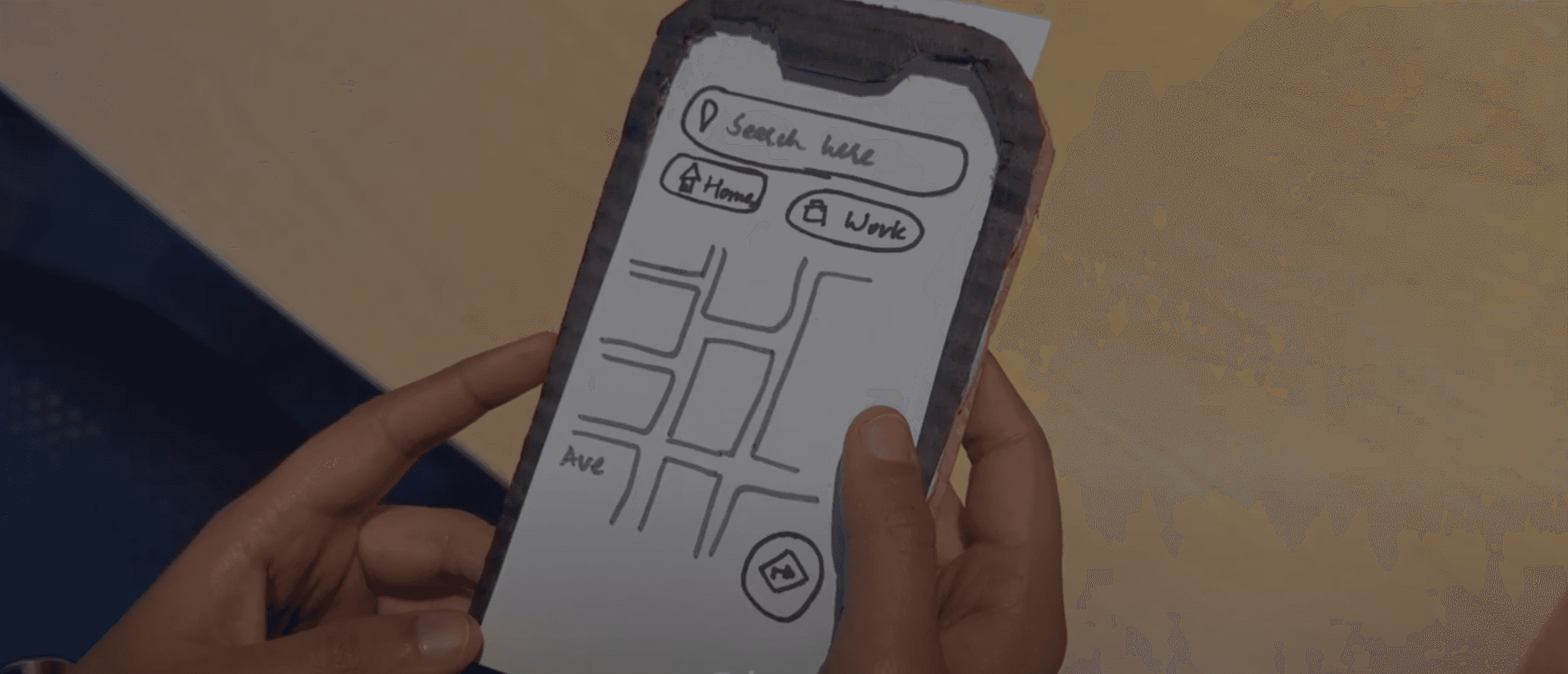
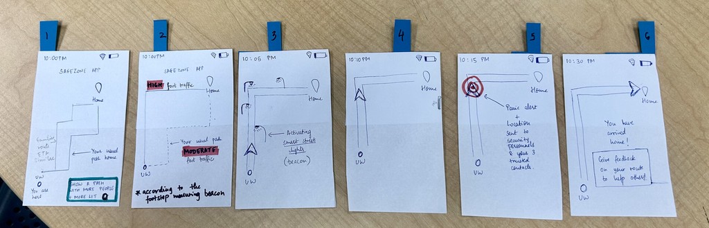
Version 1: Paper Protoype with default selected safety paths
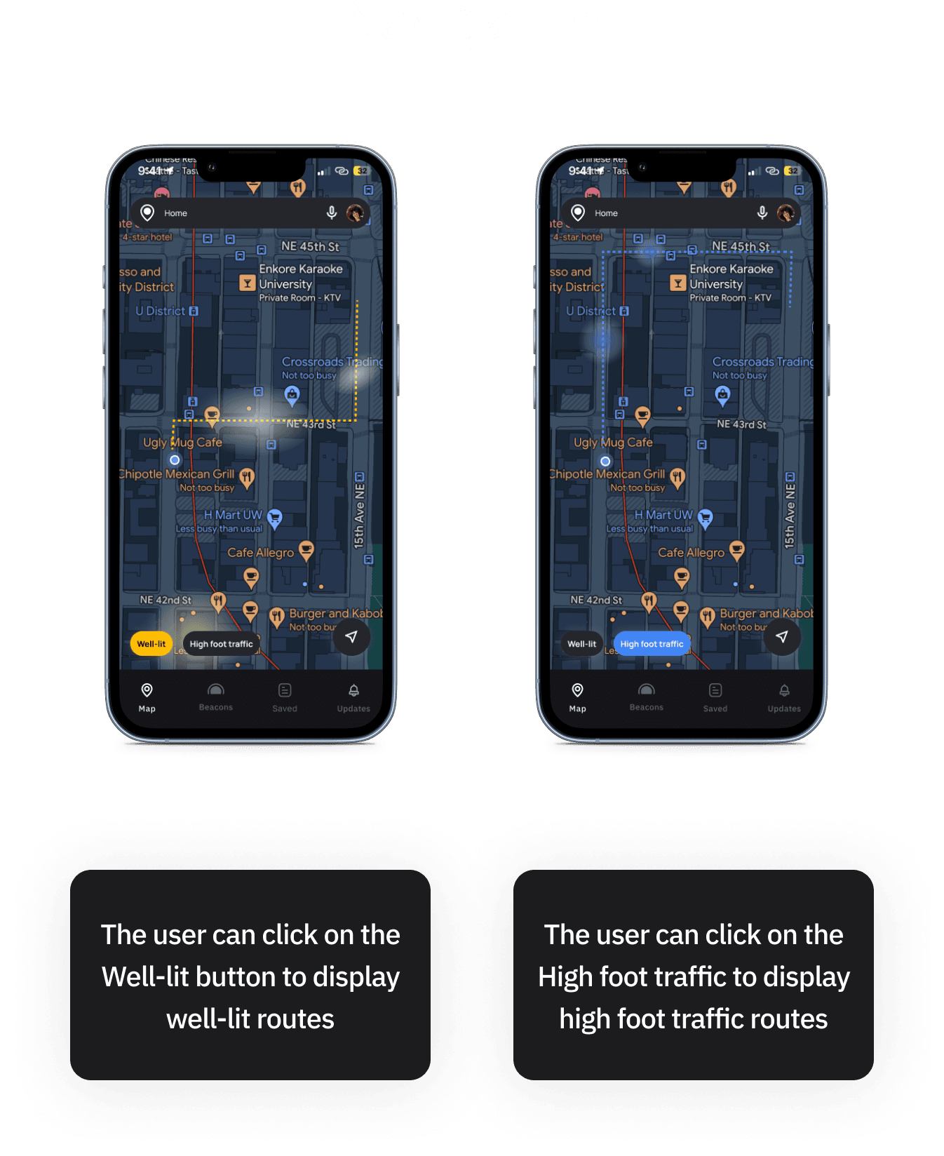
We created a paper prototype with 6 main screens to test three main features of the app:
1. finding routes with a high foot traffic
2. finding well-lit routes
3. panic alerts (notify others + get notified)
I created the paper prototype with 6 main screens and wanted to test the three features of the app and th extent to which they
found the Betterway Maps integration relevant and useful.
RITE Testing
We debriefed after every 2 sessions and made rapid iterations on the paper prototypes.
Version 2: We created tabs for easy switching between types of routes
In the iteration, instead of already choosing a preference by default, this iteration allows the user to select different elements (well-lit or high foot traffic) route to check the route
I created the paper prototype with 6 main screens and wanted to test the three features of the app and th extent to which they
found the Betterway Maps integration relevant and useful.

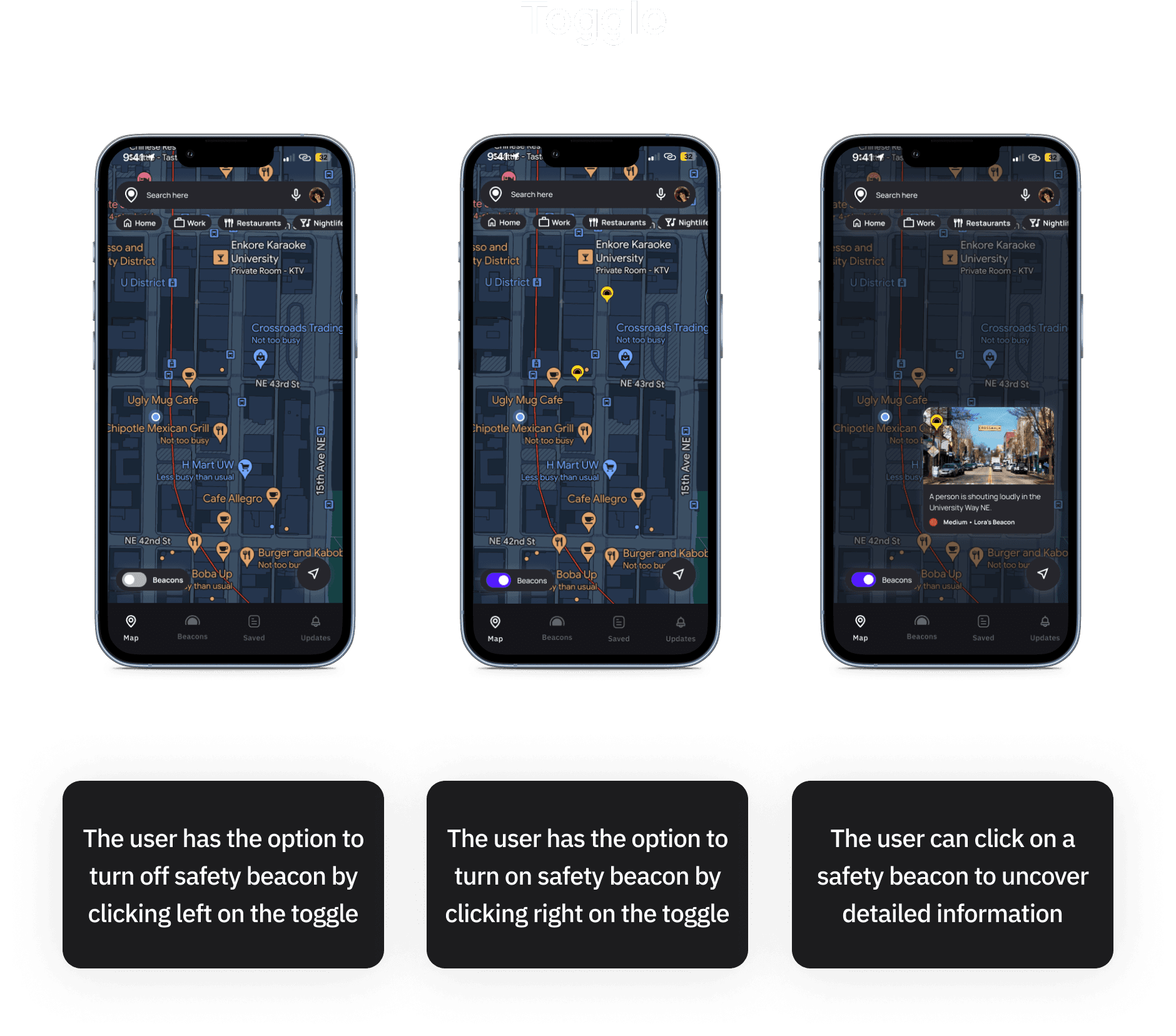
Final Designs
Moodboard

The Final App Design


Impact
We revisited some students to show them the final product and get their thoughts.
One student said, "This is a very good solution. 'High foot traffic' and 'well lit' is exactly how I choose my path.
When I have to go from Odegaard to home, I can directly take the 15th Ave, but I walk all the way to the well-lit road after it (and take the longer route) near the Population Health to go home [just because it is more lit]
And to know this, I had to live here for a long time before I figured this out.
If Betterway existed when I was new here, I would know all this info much before. And that would be a huge help.
A few days after the completion of this project, there was a shooting nearby, and a bunch of out classmates were stuck in class and did not want to go outside until things had settled and wanted to ensure that they are only stepping out once it is safe. However, we had not way of knowing this. This is when one of my classmate turned to me to say:
"If Betterway existed, I would know if it is safe to step outside or not."
This was a major validation of the idea.
Featured on the MHCI+D Instagram page

Limitations
1. Since Betterway allows anyone to send alerts/notifications without verifying the information, it is possible to misuse this feature.
2. Continuous alerts could make the user more anxious about the safety (From our user interviews, we also learned that when it comes to safety, sometimes ignorance is bliss)
3. In some cases, there may not be more than one route (of roughly the same distance) and more work is needed to quantify and make a recommendation for that path.
4. The full potential of Betterway beacons will only be unlocked once the a large number of users use it. Hence, it might be a good diea to start it with a small group of people and eventually expand.